Fayl:Haiti deforestation.jpg
Sınaq göstərişi ölçüsü: 800 × 600 piksel. Digər ölçülər: 320 × 240 piksel | 640 × 480 piksel | 1.024 × 768 piksel | 1.280 × 960 piksel | 2.560 × 1.920 piksel.
Faylın orijinalı (2.560 × 1.920 piksel, fayl həcmi: 1,48 MB, MIME növü: image/jpeg)
| Bu fayl "Vikimedia Commons"dadır və digər layihələrdə istifadə edilə bilər. |
 |
Faylın təsvir səhifəsinə get |
| İzah |
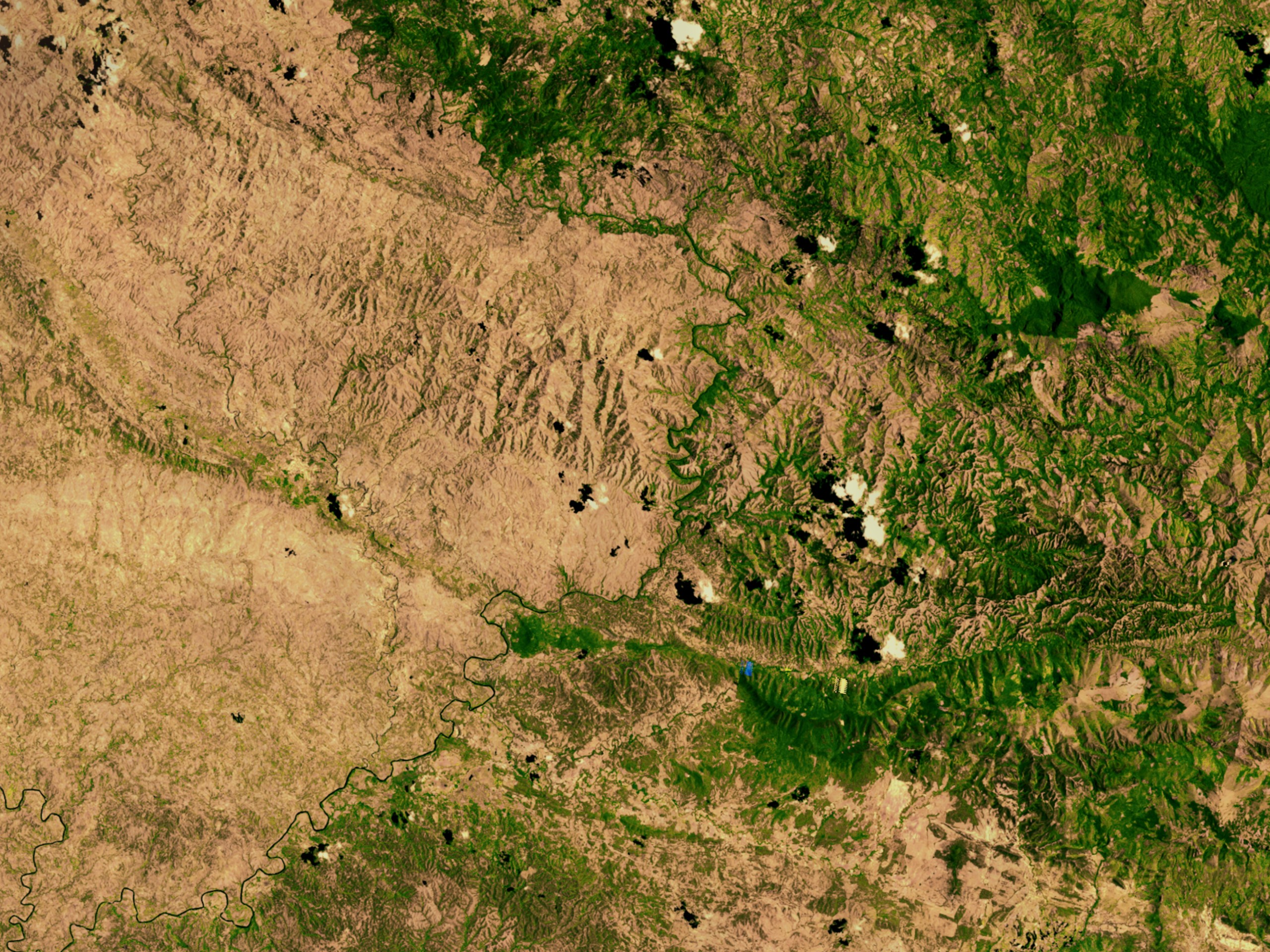
English: Satellite image showing deforestation in Haiti, Haiti-Centre. This image depicts the border between Haiti (left) and the Dominican Republic (right). |
|||||
| Tarix | ||||||
| Mənbə | http://svs.gsfc.nasa.gov/vis/a000000/a002600/a002640/ | |||||
| Müəllif | NASA | |||||
| İcazə (Faylın təkrar istifadəsi) |
|

| Object location | | View this and other nearby images on: OpenStreetMap |
|---|
Faylın tarixçəsi
Faylın əvvəlki versiyasını görmək üçün gün/tarix bölməsindəki tarixlərə klikləyin.
| Tarix/Vaxt | Kiçik şəkil | Ölçülər | İstifadəçi | Şərh | |
|---|---|---|---|---|---|
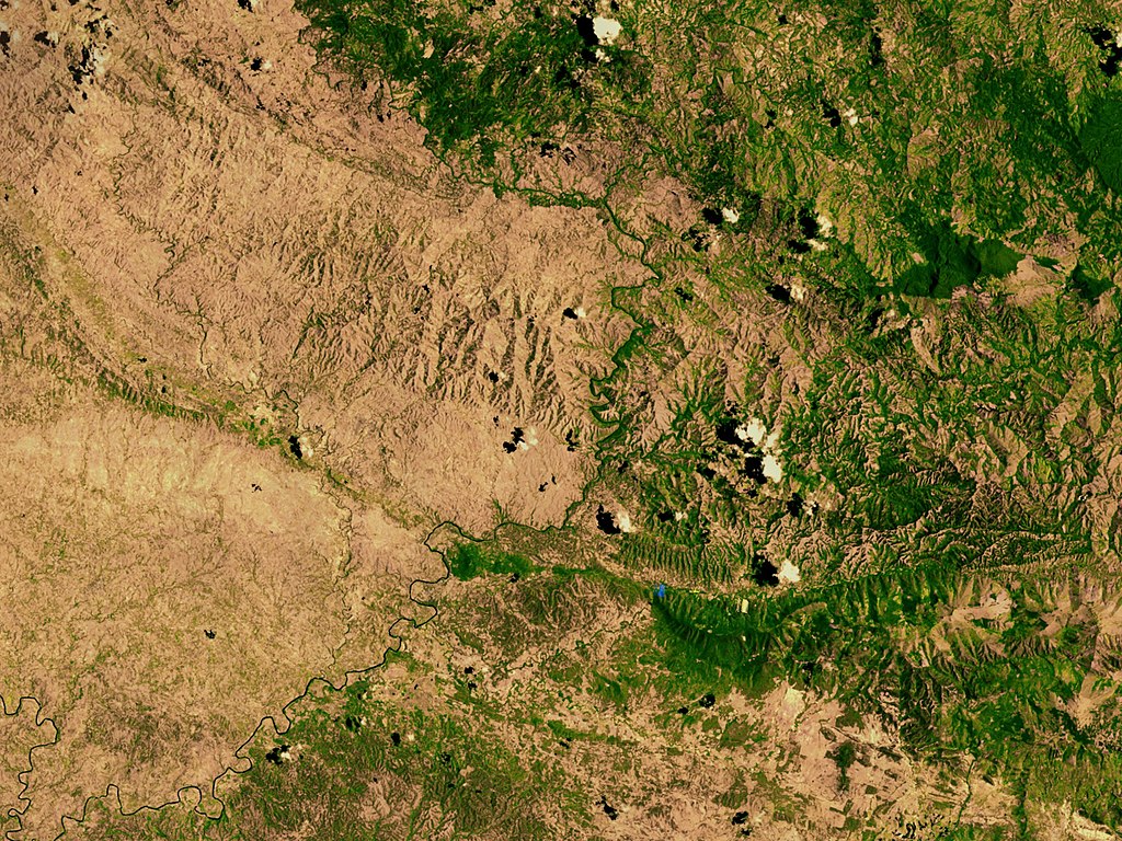
| indiki | 02:54, 10 mart 2008 | | 2.560 × 1.920 (1,48 MB) | Calliopejen | {{Information |Description=Satellite image showing deforestation in Haiti. This image depicts the border between Haiti (left) and the Dominican Republic (right). |Source=http://svs.gsfc.nasa.gov/vis/a000000/a002600/a002640/ |Date=2002-09-25 |Author=NASA | |
Fayl keçidləri
Aşağıdakı səhifə bu faylı istifadə edir:
Faylın qlobal istifadəsi
Bu fayl aşağıdakı vikilərdə istifadə olunur:
- af.wikipedia.org layihəsində istifadəsi
- ar.wikipedia.org layihəsində istifadəsi
- ast.wikipedia.org layihəsində istifadəsi
- be.wikipedia.org layihəsində istifadəsi
- cs.wikipedia.org layihəsində istifadəsi
- de.wikipedia.org layihəsində istifadəsi
- de.wiktionary.org layihəsində istifadəsi
- en.wikipedia.org layihəsində istifadəsi
- en.wikinews.org layihəsində istifadəsi
- es.wikipedia.org layihəsində istifadəsi
- eu.wikipedia.org layihəsində istifadəsi
- fa.wikipedia.org layihəsində istifadəsi
- fr.wikipedia.org layihəsində istifadəsi
- fr.wikiversity.org layihəsində istifadəsi
- ht.wikipedia.org layihəsində istifadəsi
- ig.wikipedia.org layihəsində istifadəsi
- kk.wikipedia.org layihəsində istifadəsi
- la.wikipedia.org layihəsində istifadəsi
- mt.wikipedia.org layihəsində istifadəsi
- nn.wikipedia.org layihəsində istifadəsi
- no.wikipedia.org layihəsində istifadəsi
- oc.wikipedia.org layihəsində istifadəsi
- pa.wikipedia.org layihəsində istifadəsi
- pl.wikipedia.org layihəsində istifadəsi
- pt.wikipedia.org layihəsində istifadəsi
- pt.wikibooks.org layihəsində istifadəsi
- ru.wikipedia.org layihəsində istifadəsi
- te.wikipedia.org layihəsində istifadəsi
- uk.wikipedia.org layihəsində istifadəsi
Bu faylın qlobal istifadəsinə baxın.