Fayl:Blank topographic map of the Canary Islands.svg

Bu SVG-faylın PNG formatındakı bu görünüşünün ölçüsü: 800 × 342 piksel. Digər ölçülər: 320 × 137 piksel | 640 × 274 piksel | 1.024 × 438 piksel | 1.280 × 548 piksel | 2.560 × 1.095 piksel | 3.045 × 1.303 piksel.
Faylın orijinalı (SVG faylı, nominal olaraq 3.045 × 1.303 piksel, faylın ölçüsü: 750 KB)
| Bu fayl "Vikimedia Commons"dadır və digər layihələrdə istifadə edilə bilər. |
 |
Faylın təsvir səhifəsinə get |
Xülasə
| İzah |
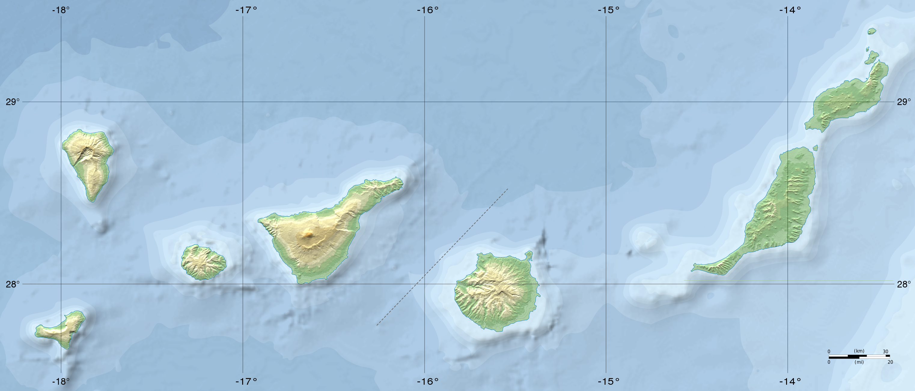
Français : Carte physique vierge des îles Canaries, créée pour la géolocalisation. |
| Tarix | |
| Mənbə | File:Map of the Canary Islands.svg |
| Müəllif |
|
| Digər versiyalar |
|
| SVG genesis | This map uses embedded text. |

Lisenziya
| This work has been released into the public domain by its author, Mysid at ingilis Vikipediya. This applies worldwide. In some countries this may not be legally possible; if so: Mysid grants anyone the right to use this work for any purpose, without any conditions, unless such conditions are required by law. |
Faylın tarixçəsi
Faylın əvvəlki versiyasını görmək üçün gün/tarix bölməsindəki tarixlərə klikləyin.
| Tarix/Vaxt | Kiçik şəkil | Ölçülər | İstifadəçi | Şərh | |
|---|---|---|---|---|---|
| indiki | 19:30, 14 iyun 2015 | | 3.045 × 1.303 (750 KB) | Flappiefh | User created page with UploadWizard |
Fayl keçidləri
Aşağıdakı 4 səhifə bu faylı istifadə edir:
Faylın qlobal istifadəsi
Bu fayl aşağıdakı vikilərdə istifadə olunur:
- ce.wikipedia.org layihəsində istifadəsi
- cv.wikipedia.org layihəsində istifadəsi
- en.wikipedia.org layihəsində istifadəsi
- eo.wikipedia.org layihəsində istifadəsi
- El Hierro
- Fuerteventura
- Gran Canaria
- Lanzarote
- La Gomera
- La Palma
- Las Palmas de Gran Canaria
- Santa Cruz de Tenerife
- Universitato La Laguna
- Placo de la Patronino de Kanarioj
- Katedralo de Kanarioj
- Aŭskultantejo de Tenerife
- Nacia Parko de Teide
- Provinco La Palmoj
- Nacia Parko Garajonay
- La Graciosa
- Granda Teleskopo Kanarioj
- Ĉiniĥa Insularo
- Ŝablono:Situo sur mapo Hispanio Kanariaj insuloj
- Provinco Sankta Kruco de Tenerifo
- Ŝablono:Situo sur mapo Hispanio Kanariaj insuloj/dokumentado
- Katedralo de Sankta Kristoforo de La Laguna
- Piramidoj de Güímar
- Observatorio de Roque de los Muchachos
- Observatorio de Tejdo
- Vulkana erupcio de La Palma en 2021
- Arona (Kanarioj)
- Pico de la Zarza
- Nacia Parko Caldera de Taburiente
- es.wikipedia.org layihəsində istifadəsi
- et.wikipedia.org layihəsində istifadəsi
- fr.wikipedia.org layihəsində istifadəsi
Bu faylın qlobal istifadəsinə baxın.