Fayl:Blankmap-ao-090S-south pole.png

Sınaq göstərişi ölçüsü: 600 × 600 piksel. Digər ölçülər: 240 × 240 piksel | 480 × 480 piksel | 726 × 726 piksel.
Faylın orijinalı (726 × 726 piksel, fayl həcmi: 9 KB, MIME növü: image/png)
| Bu fayl "Vikimedia Commons"dadır və digər layihələrdə istifadə edilə bilər. |
 |
Faylın təsvir səhifəsinə get |

|
This locator map image could be re-created using vector graphics as an SVG file. This has several advantages; see Commons:Media for cleanup for more information. If an SVG form of this image is available, please upload it and afterwards replace this template with
{{vector version available|new image name}}.
It is recommended to name the SVG file “Blankmap-ao-090S-south pole.svg”—then the template Vector version available (or Vva) does not need the new image name parameter. |
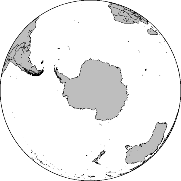
Azimuthal orthographic map projection of coords 90°S/0°.
See Image:Blankmap-ao-090S-south pole.xcf for an XCF file with separate layers for water, land, coastlines, political borders, political borders over water (not shown), and latitude & longitude gridlines (not shown).
Created by User:Reisio with GMT.
Reisio, the copyright holder of this work, hereby publishes it under the following license:
| Mən, bu əsərin müəllif hüquqlarının sahibi kimi, əsəri ictimai mülkiyyətə verirəm. Bu icazə bütün dünyada qüvvədədir. In some countries this may not be legally possible; if so: Bunun qanunla mümkün olmadığı hallarda: İstənilən şəxsə, istənilən məqsəd üçün, qanunlar tərəfindən qadağan edilməyincə, heç bir şərt qoymadan bu işdən istifadə haqqını bağışlayıram. |
Faylın tarixçəsi
Faylın əvvəlki versiyasını görmək üçün gün/tarix bölməsindəki tarixlərə klikləyin.
| Tarix/Vaxt | Kiçik şəkil | Ölçülər | İstifadəçi | Şərh | |
|---|---|---|---|---|---|
| indiki | 06:47, 7 fevral 2010 | | 726 × 726 (9 KB) | Reisio | Reverted to version as of 11:36, 13 October 2005 |
| 06:46, 7 fevral 2010 | Miniatür yoxdur | (307 KB) | Reisio | must I really? :p | |
| 06:43, 7 fevral 2010 | Miniatür yoxdur | (81 KB) | Reisio | must I really? :p | |
| 11:36, 13 oktyabr 2005 |  | 726 × 726 (9 KB) | Reisio | Created by User:Reisio with GMT.{{pd}} |
Fayl keçidləri
Bu faylı istifadə edən səhifə yoxdur.