Fayl:La2-demis-usedom.png
Sınaq göstərişi ölçüsü: 512 × 599 piksel. Digər ölçülər: 205 × 240 piksel | 410 × 480 piksel | 654 × 765 piksel.
Faylın orijinalı (654 × 765 piksel, fayl həcmi: 27 KB, MIME növü: image/png)
| Bu fayl "Vikimedia Commons"dadır və digər layihələrdə istifadə edilə bilər. |
 |
Faylın təsvir səhifəsinə get |
Xülasə
| İzah |
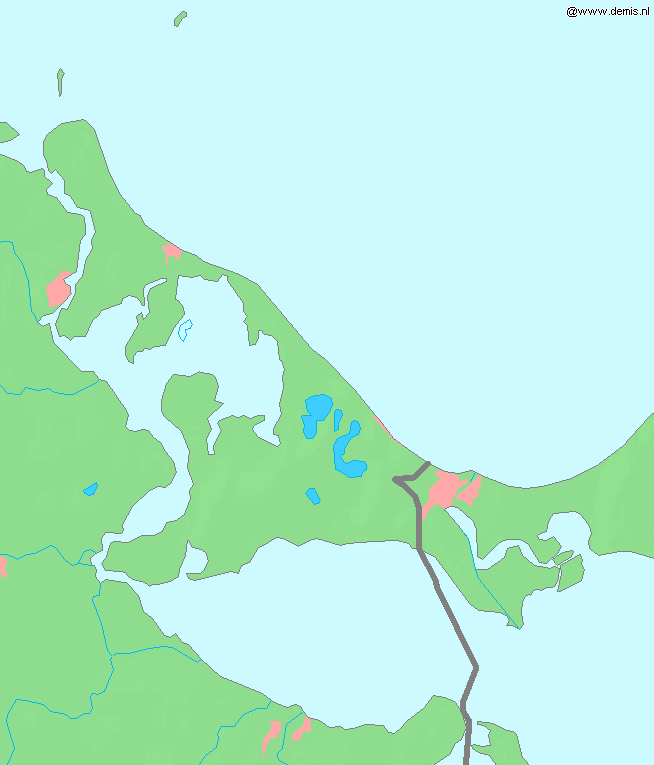
English: Island Usedom in the Baltic Sea.
Bounding box West 13.7°, South 53.71°, East 14.5°, North 54.26°. Center at 53°59′06″N 14°06′00″E / 53.98500°N 14.10000°E. |
| Tarix | |
| Mənbə | Demis map server |
| Müəllif | Demis map server |
This image is in the public domain because it came from the site https://www.demis.nl/products/web-map-server/examples/ and was released by the copyright holder. Permission is granted to copy, distribute and/or modify this map since it is based on free of copyright images from: www.demis.nl. See also approval email on de.wp and its clarification.
|
| This work has been released into the public domain by its copyright holder, www.demis.nl. This applies worldwide. In some countries this may not be legally possible; if so: www.demis.nl grants anyone the right to use this work for any purpose, without any conditions, unless such conditions are required by law.
|
Faylın tarixçəsi
Faylın əvvəlki versiyasını görmək üçün gün/tarix bölməsindəki tarixlərə klikləyin.
| Tarix/Vaxt | Kiçik şəkil | Ölçülər | İstifadəçi | Şərh | |
|---|---|---|---|---|---|
| indiki | 12:22, 30 avqust 2005 | | 654 × 765 (27 KB) | LA2 | Island Usedom in the Baltic Sea. {{demis-pd}} category:Maps of Germany |
Fayl keçidləri
Aşağıdakı səhifə bu faylı istifadə edir:
Faylın qlobal istifadəsi
Bu fayl aşağıdakı vikilərdə istifadə olunur:
- be.wikipedia.org layihəsində istifadəsi
- fr.wikipedia.org layihəsində istifadəsi
- uk.wikipedia.org layihəsində istifadəsi