Fayl:Txu-pclmaps-topo-us-attu-1970.jpg
Sınaq göstərişi ölçüsü: 780 × 599 piksel. Digər ölçülər: 313 × 240 piksel | 625 × 480 piksel | 1.000 × 768 piksel | 1.280 × 983 piksel | 2.560 × 1.967 piksel | 5.951 × 4.572 piksel.
Faylın orijinalı (5.951 × 4.572 piksel, fayl həcmi: 2,92 MB, MIME növü: image/jpeg)
| Bu fayl "Vikimedia Commons"dadır və digər layihələrdə istifadə edilə bilər. |
 |
Faylın təsvir səhifəsinə get |
Xülasə
| İzah |
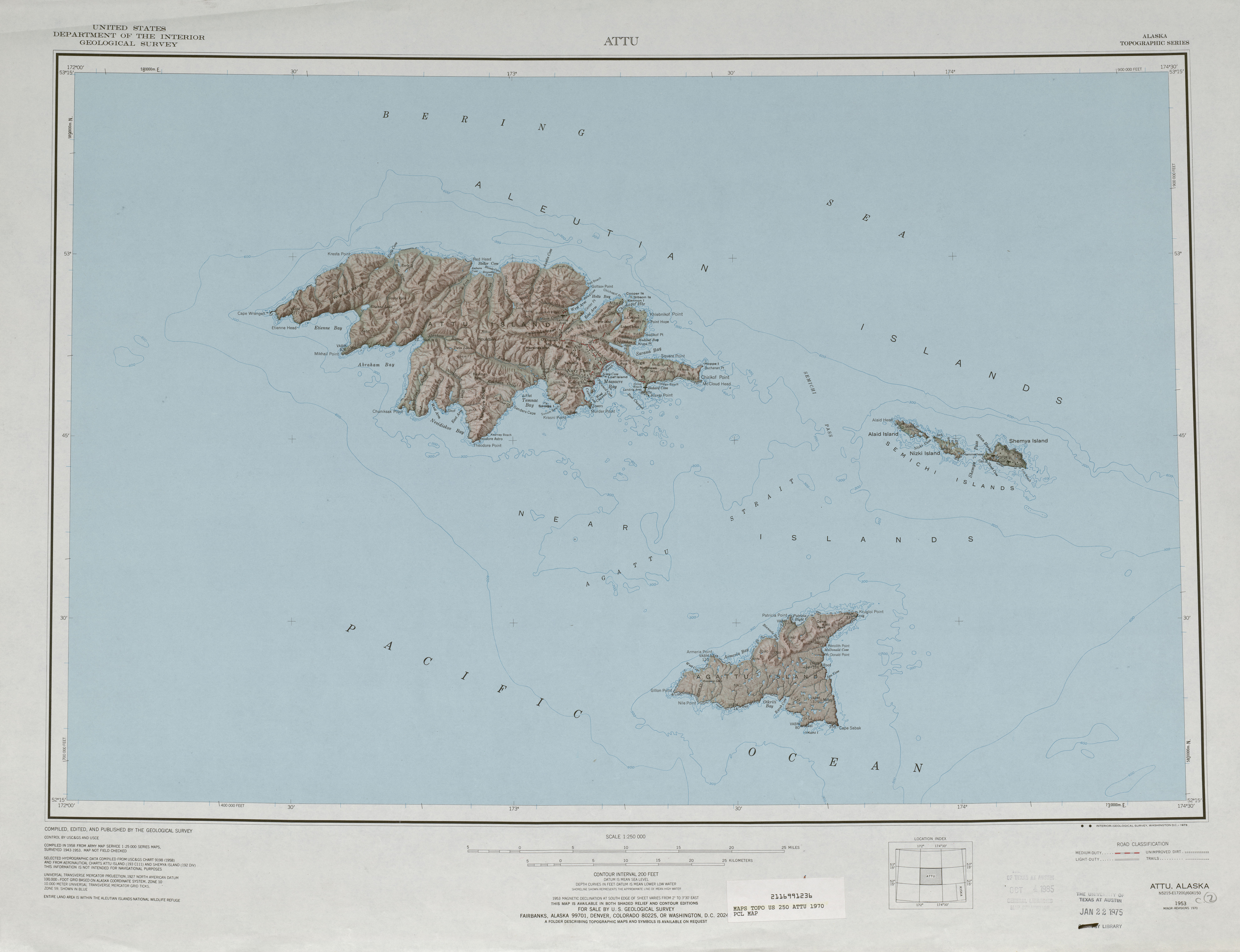
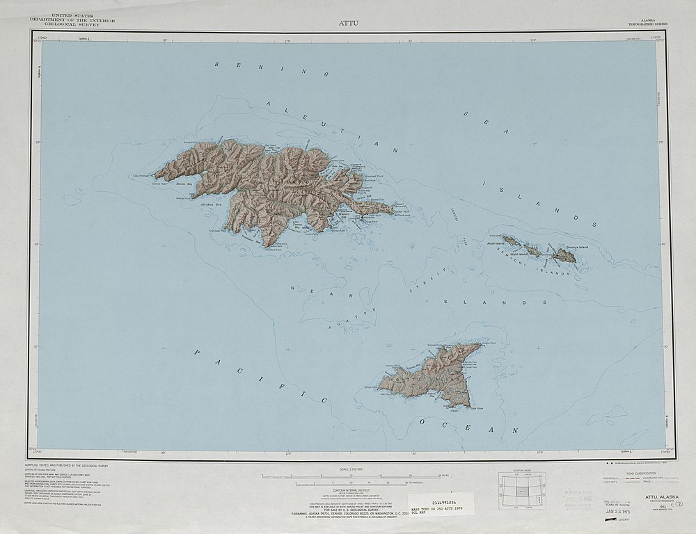
English: 1:250,000 map sheet with Attu Island, Agattu Island, and Semichi Islands |
| Tarix | |
| Mənbə | http://www.lib.utexas.edu/maps/topo/250k/txu-pclmaps-topo-us-attu-1970.jpg |
| Müəllif | US Geological Survey |
Lisenziya
This image is in the public domain in the United States because it only contains materials that originally came from the United States Geological Survey, an agency of the United States Department of the Interior. For more information, see the official USGS copyright policy.
|
Faylın tarixçəsi
Faylın əvvəlki versiyasını görmək üçün gün/tarix bölməsindəki tarixlərə klikləyin.
| Tarix/Vaxt | Miniatür | Ölçülər | İstifadəçi | Şərh | |
|---|---|---|---|---|---|
| hal-hazırkı | 18:38, 2 oktyabr 2010 | | 5.951 × 4.572 (2,92 MB) | Ratzer | {{Information |Description={{en|1=1:250,000 map sheet with Attu Island, Agattu Island, and Semichi Islands}} |Source=http://www.lib.utexas.edu/maps/topo/250k/txu-pclmaps-topo-us-attu-1970.jpg |Author=US Geological Survey |Date=1970 |Permission= |other_ver |
Faylın istifadəsi
Aşağıdakı səhifə bu faylı istifadə edir:
Faylın qlobal istifadəsi
Bu fayl aşağıdakı vikilərdə istifadə olunur:
- ast.wikipedia.org layihəsində istifadəsi
- bg.wikipedia.org layihəsində istifadəsi
- bn.wikipedia.org layihəsində istifadəsi
- de.wikipedia.org layihəsində istifadəsi
- en.wikipedia.org layihəsində istifadəsi
- eo.wikipedia.org layihəsində istifadəsi
- es.wikipedia.org layihəsində istifadəsi
- it.wikipedia.org layihəsində istifadəsi
- ja.wikipedia.org layihəsində istifadəsi
- nl.wikipedia.org layihəsində istifadəsi
- pt.wikipedia.org layihəsində istifadəsi
- ru.wikipedia.org layihəsində istifadəsi
- uk.wikipedia.org layihəsində istifadəsi
- zh.wikipedia.org layihəsində istifadəsi